
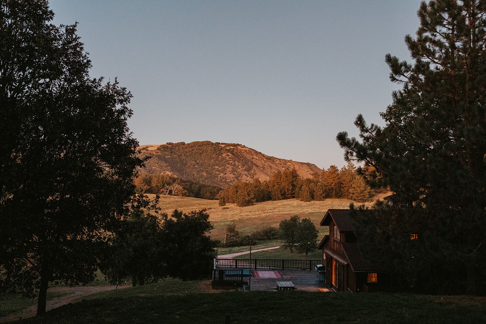
Beyond the gate
A mile from historic Julian, an hour from the desert. Here’s how to spend a day out.
The Ranch is a private mountaintop, and some days you won’t want to leave it. When you do, this is our short list: a walk through the gold rush town at the bottom of Farmer Road, the places ten minutes out, and three drives that fill a day and have you back for dinner.
- to Main Street
- 1 mileto Main Street
- by car
- 4 minby car
- on foot
- 28 minon foot
The Gold Rush Walk
Julian’s town site on foot: about a mile and a half and 35 minutes of walking, from Town Hall to the brewery. With the stops, a whole morning.
Open the walk in Google Maps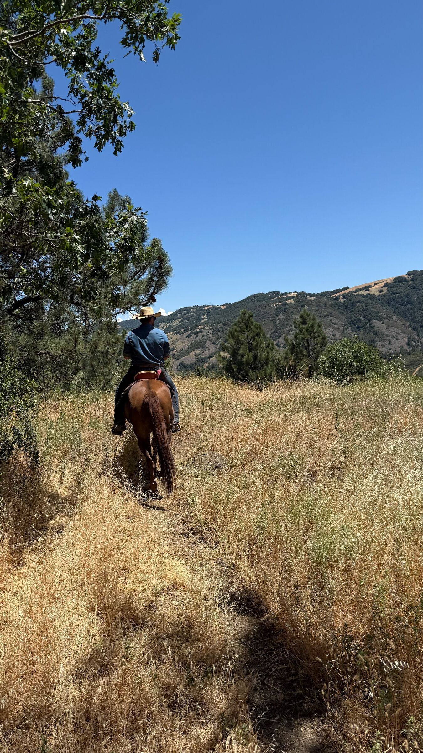
Julian Town Hall
Start at the visitor center in the town hall on Main Street. Pick up a map of town and ask what’s on this weekend.
Pie and cider on Main Street
Mom’s Pie House and the Julian Cider Mill are a few doors apart. Pie for now, cider for the house.
Eagle Mining Co.
A real gold mine at the top of C Street. Walk the tunnels on a guided tour, then pan for gold. Check tour times before you go.
Julian Tea & Cottage Arts
Afternoon tea a block off Main Street. Book ahead for a group.
Julian Museum
The town’s history museum, in Pioneer County Park on Washington Street.
Julian Pie Company
Back on Main Street, the pie shop the town is best known for.
Julian Cemetery
The historic cemetery on A Street. Walk it quietly: the headstones tell the town’s story in names and dates.
Julian Beer Co.
Finish on Main Street with a pint and something to eat.
Close to the gate
Trailheads, tasting rooms and lunch, timed by car from the Ranch.
Ten minutes or less
Volcan Mountain
4 minThe mountain you see from the Meadow. The trailhead is on Farmer Road, and the trail climbs to views out over the desert.
Two wineries
5 minVolcan Mountain Winery and Menghini Winery, neighbors on Julian Orchards Drive.
Julian Station
9 minJulian Hard Cider and more under one roof, in Wynola.
Pizza and a roadhouse
9 minHeroes Wood-Fired Pizza and The Red Barn, side by side in Wynola.
An hour or less
California Wolf Center
12 minA conservation center for wolves, seen on guided tours. Book before you go.
Santa Ysabel
13 minDudley’s Bakery, Julian Pie Company’s second shop, and Farmhouse 78 for lunch.
Santa Ysabel Preserve
15 minOak woodland, grassland and, in spring, fields of wildflowers, on county trails.
Lake Cuyamaca
17 minA mountain lake to the south, with a pub beside it for lunch.
Stonewall Peak
20 minThe climb in Cuyamaca Rancho State Park: switchbacks through the pines to a granite top with a view across the range.
Warner Springs Gliderport
31 minSailplane rides for one or two with Sky Sailing, soaring over Lake Henshaw with Palomar in view. Book ahead for a weekday flight.
A day out, back for dinner
Three drives that fill a day: down to the desert, up to the observatory, and along the rim of the mountains.
Anza-Borrego and the desert
East on Highway 78, down the Banner Grade
About 50 min each way
Anza-Borrego and the desert
East on Highway 78, down the Banner Grade
About 50 min each way
Leave the pines after breakfast and be on the desert floor within the hour. Anza-Borrego is California’s largest state park: palm canyons, badlands and, in a good spring, wildflowers to the horizon.
The Banner Grade
The road down out of the mountains. Use the pull-outs for the view, not the shoulder.
The visitor center
Maps, exhibits and, in spring, word on where the wildflowers are.
Galleta Meadows sculptures
Ricardo Breceda’s giant metal creatures, out in the open desert around Borrego Springs.
Take more water than you think. From May into October the desert is far hotter than the mountain, so go early.
Palomar Observatory
North on Highway 79, past Lake Henshaw, up the East Grade
About 55 min each way
Palomar Observatory
North on Highway 79, past Lake Henshaw, up the East Grade
About 55 min each way
The white dome of the Hale Telescope, on a mountain of pines and meadows to the north. Palomar Mountain State Park is on the same mountain, for a walk or a picnic on the way back.
Palomar Observatory
The Hale Telescope under its dome. Check the observatory’s own visiting hours before you set out.
Palomar Mountain State Park
Pines, meadows and picnic tables on the way back down.
The East Grade is long and winding. Check your fuel before you start the climb.
Mount Laguna and the Sunrise Highway
South on Highway 79, then along the rim of the mountains
About 35 min each way
Mount Laguna and the Sunrise Highway
South on Highway 79, then along the rim of the mountains
About 35 min each way
The Sunrise Highway runs along the eastern edge of the Laguna Mountains with the desert thousands of feet below. Walk out to the overlooks, then have lunch in the pines.
Desert View
A picnic area at the edge of the drop, and the overlook it is named for.
Laguna Mountain visitor center
Trail maps, and advice on which walk suits the day.
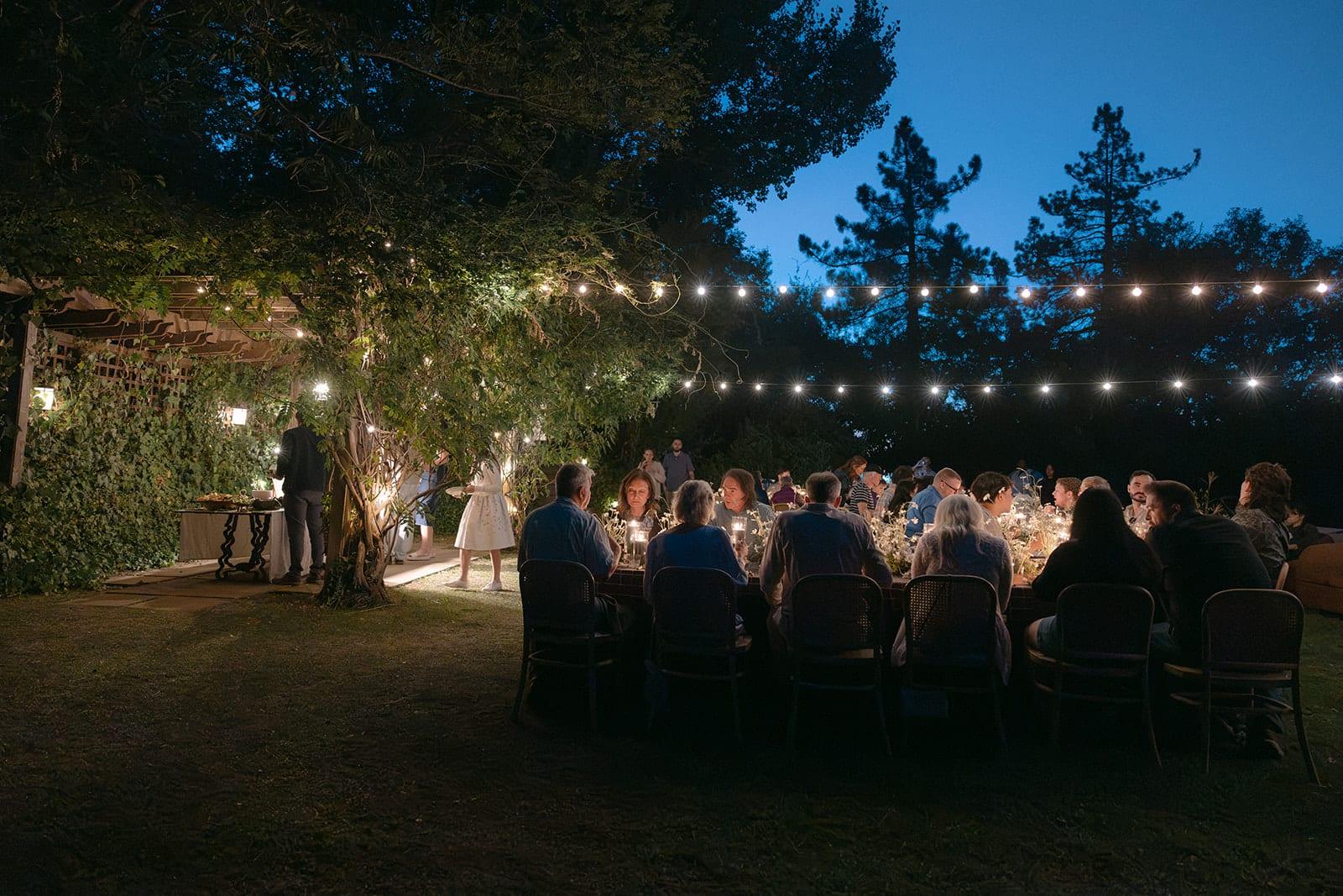
After dark, stay in
Julian has been a Dark Sky Community since 2021, and the best seat for it is back at the Ranch. Find a spot on the lawn, give your eyes twenty minutes, and look for the Milky Way.
Explore JulianMake the Ranch your basecamp
Seven houses on one mountaintop, with all of this within the hour.